A weather system moving through the region is set to introduce fresh snow to the Australian Alps from Wednesday into Thursday. According to meteorologist Mike O'Connor, this leads to an exciting week for skiers and snowboarders alike.
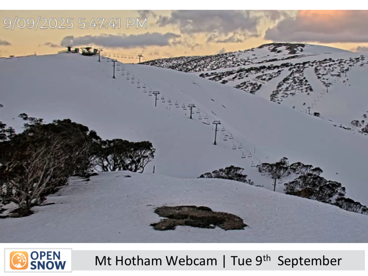
"The snowpack has held firm after Sunday night’s rain, giving great spring conditions to start the week," said O'Connor, highlighting the favorable conditions leading up to the storm. The forecast indicates that rain will transition into snow as a low-pressure system tracks north of the Alps. Heavy snowfall is expected before the storm eases off on Thursday, with expected accumulation ranging from 20–40 centimeters in most areas, although Mt Buller may only receive 5–10 centimeters.
As the storm progresses, O'Connor provided insights into the short-term forecasts. "A low on Wednesday will bring rain and high-level snow to the Australian Alps, with snow levels dropping to the base by evening as heavy snowfall sets in." This change in conditions is anticipated to create a delightful skiing environment as fresh powder becomes available. By Thursday, skiers can expect the powder to remain untouched as conditions clear under partly cloudy skies, alongside easing southerly winds.

The weather conditions will shift again as the week transitions. O'Connor mentioned, "Friday starts fine but clouds spread east as southwest winds ease," setting the stage for a mostly sunny Saturday with only light cloud cover. However, by Sunday, clouds will begin to accrue once again with strengthening northwest winds.
Looking further ahead, O'Connor warned that the pattern of changing weather is likely to continue into the following week. "Strengthening northwest winds will bring a front on Tuesday, September 16th, causing rain followed by a cold change and light snow," he noted. This upcoming front suggests that winter isn't quite finished yet, with another storm featuring stronger winds and precipitation expected between Friday and Sunday, September 19–21.
For those looking to hit the slopes, early indications suggest captivating conditions will continue leading into the weekend due to the anticipated high pressure following the snow events. "Fresh powder should hold through the weekend," O'Connor confirmed, making it an ideal time for winter sports enthusiasts to enjoy the outdoors before the weather takes another turn.
In conclusion, with the abundant snow expected this week and the promise of continued snowfall, skiers can look forward to thrilling days on the slopes ahead. As always, monitoring local forecasts will be essential to fully enjoy the changing conditions. Keep an eye out for the next update, which will be released on Friday, to stay informed on this forecast.

About the Author
Mike O’Connor is a seasoned meteorologist based in New Zealand, boasting a decade of experience at the New Zealand MetService prior to his current forecasting endeavors. His insights are invaluable for wind sports enthusiasts looking for the best conditions in Australia.